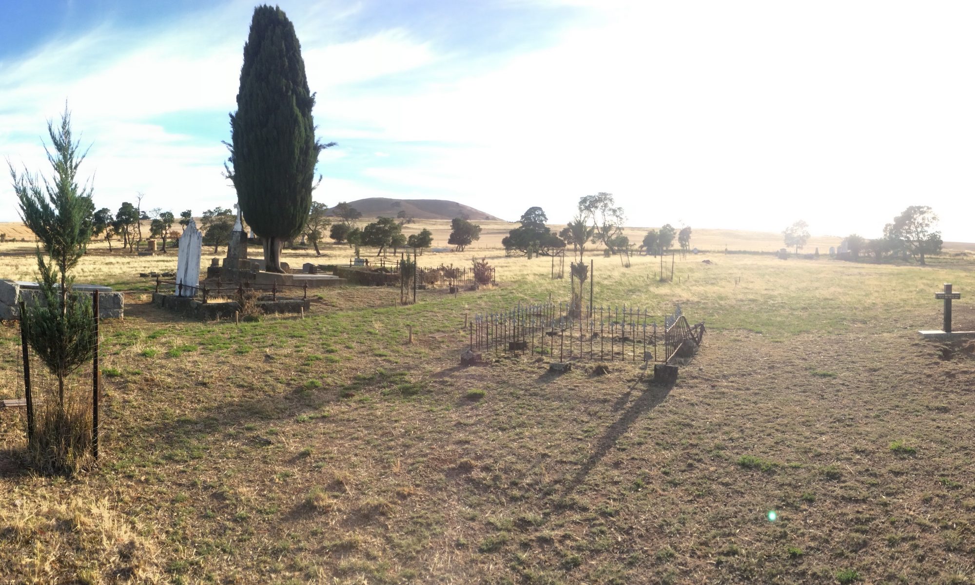
Hunter Geophysics offers unmarked grave detection, mapping, photography and interment register digitization services to cemeteries. We also work as surveyors, establishing new burial rows.
Unmarked graves are readily detectable using reliable, scientific methods that do not involve any excavation whatsoever. Click here for further details.
For our mapping and surveying services (and our new ‘GRAVE HUNTER’ map/burial register package), please read this page, or contact us for further information.

